
Drone technology company ideaForge Technology Limited has unveiled its most advanced mapping drone, the Q6V2 GEO, with a global premiere at PRAGYA 2025. PRAGYA 2025 is ideaForge’s inaugural customer event of the year, themed “Expanding the Possibilities of Geospatial Intelligence.” The launch marks a significant step in ideaForge’s mission to provide cutting-edge aerial mapping and intelligence capabilities for industries, government agencies, and researchers.
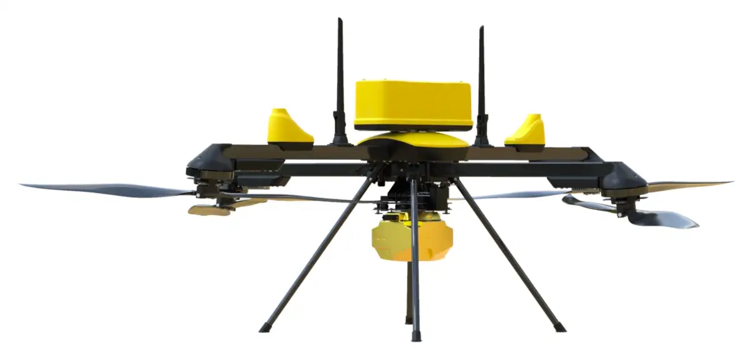
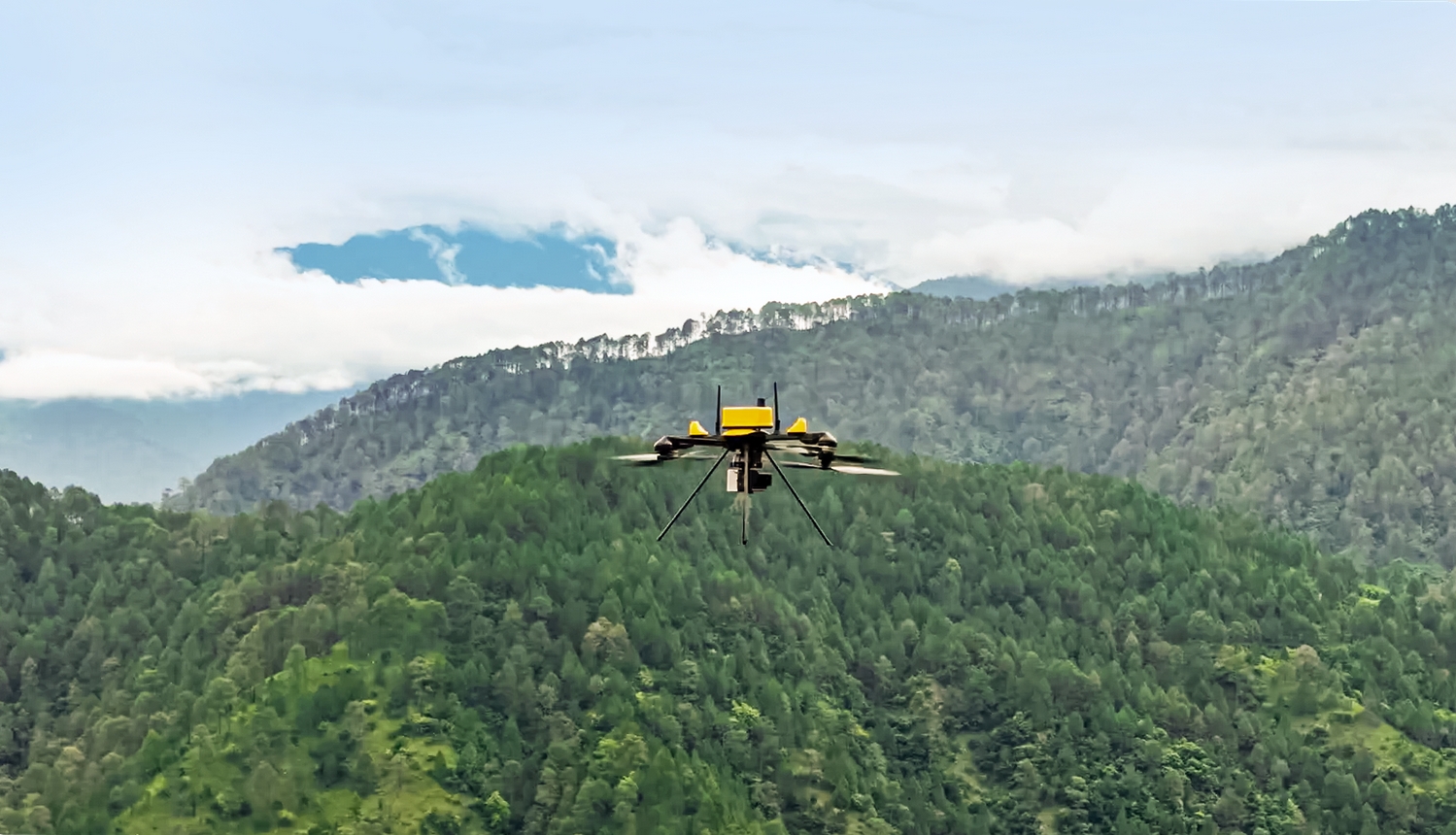
The Q6V2 GEO is designed to map any object at any location, providing full-terrain performance even in extreme environments. Whether mapping glaciers in the Himalayas, surveying complex urban landscapes, conducting dense forest studies, or monitoring industrial corridors, the Q6V2 GEO delivers unparalleled performance. This mapping-grade drone features a LiDAR payload, a takeoff weight of less than 7 kg, a flight endurance exceeding 50 minutes, and advanced onboard Inertial Measurement Units (IMU) with PPK geotagging and seamless CORS integration, ensuring exceptional accuracy. Its five modular and third-party payloads make it one of the most versatile drone platforms in its class, enabling seamless switching between high-resolution photogrammetry (including the newly introduced 61MP AI payload SHODHAM M61), LiDAR, oblique imaging, hyperspectral sensors, and thermal detection for a wide range of applications.
 Combined with ideaForge’s new geospatial technology stack, the Q6V2 GEO is expected to have a profound impact across industries and research fields. From Himalayan glacier LiDAR mapping for avalanche prevention, to high-resolution mapping of the 12,000-year-old Konkan rock art for archaeological research and digital archiving, to large-scale urban mapping of Varanasi for municipal management and agricultural productivity, the technology stack enables organizations to convert raw aerial data into actionable intelligence.
Used alongside ideaForge’s secure, end-to-end cloud platform Flyght Cloud, the Q6V2 GEO transforms raw drone data into precise decision-making insights, creating greater value and enabling faster, smarter operations.
The Q6V2 GEO empowers urban planning teams to construct 3D city models and conduct infrastructure audits, helps the mining industry calculate capacities and automatically generate compliance reports, and supports utility companies in tower inspections and vegetation risk assessments. It also provides biomass analysis and habitat monitoring for forestry and water resource managers, early crop stress detection tools for farmers, and assists disaster response agencies in rapid terrain assessment in high-altitude and remote areas.

ideaForge CEO Ankit Mehta stated: “The Q6V2 GEO, along with our complete geospatial technology stack, represents a leap forward in geospatial intelligence, enabling our clients to operate with precision in the most challenging terrains and climates. From mapping remote glaciers to surveying bustling urban corridors, the platform embodies our commitment to building solutions that truly push the boundaries of possibility. ideaForge aims to empower organizations and decision-makers to observe, understand, and act on the world in unprecedented ways, delivering geospatial mapping capabilities once thought impossible through a high-performance platform.”