
Geocue, a global provider of aerial mapping hardware and software solutions, has announced the launch of the TrueView 539. The TrueView 539 is a compact, lightweight LiDAR and imaging system that delivers engineering-grade accuracy at a more accessible price point. Building on the proven success of the TrueView 540, the new system retains its predecessor’s technology, precision, and reliability while offering geospatial professionals a simplified and cost-effective solution.
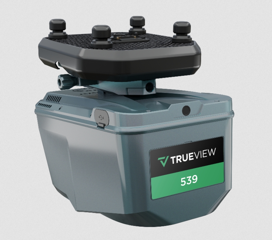
Weighing only 1.45 kilograms, the TrueView 539 can be seamlessly integrated with most commercial drone platforms capable of carrying payloads. The system features a cutting-edge LiDAR sensor with up to six returns, a 26MP global shutter full-frame camera, and provides accuracy within the 2–5 cm range.
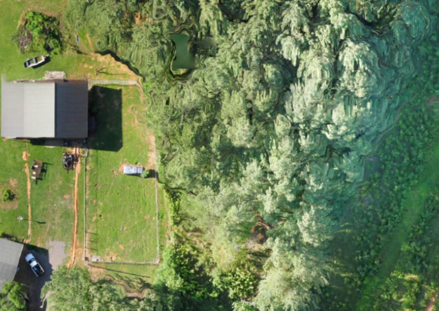
The TrueView 539 directly addresses the growing demand for engineering-grade LiDAR that is both lightweight and user-friendly. Many geospatial professionals have been searching for systems that meet technical requirements without exceeding project budgets. The LiDAR sensor employs advanced multi-target capability to penetrate dense vegetation, supporting up to six returns per pulse, enabling users to generate precise DEMs and DSMs even in challenging environments. With a range of up to 600 meters and 500,000 points per second, the system ensures rich, high-resolution data capture across diverse terrains.
The TrueView 539 also comes equipped with LP360 drone processing software, enabling users to efficiently process, visualize, and extract valuable data within an intuitive GIS-based workflow. Optional software add-ons such as strip alignment, photogrammetry, and 3D accuracy tools are available to further refine data outputs.

The introduction of the TrueView 539 expands Geocue’s growing portfolio of LiDAR mapping solutions. From high-end drone sensors to handheld and mobile systems, Geocue remains committed to delivering high-quality solutions supported by seamless hardware integration, advanced software, and trusted customer support.